
We may have already weathered the coldest temps of this Illinois winter, but it’s unlikely.
These unusually mild temperatures near 50 are a welcome respite after several days last week had subfreezing temperatures and dangerously low temperatures of -20 to -30 that forced schools to close.
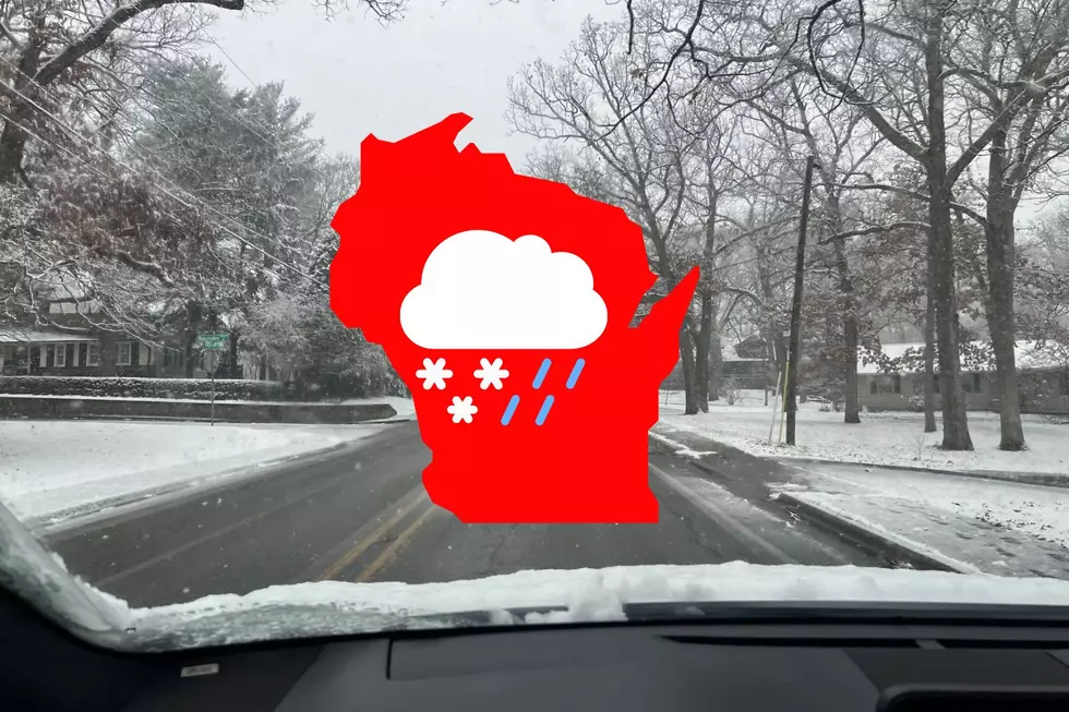
Coldest Temps of the Season May Be Behind Us, But Not Snow
Even while the rest of winter isn’t predicted to be particularly cold, there is still more snow on the horizon, and one storm might dump a significant amount of precipitation.
The Rockford region’s most recent Weather Channel prediction indicates that temperatures will remain in the mid-40s and lower 50s for the majority of the upcoming seven days.
With a high in the mid-50s on Thursday, January 30, and a low in the middle 40s on Friday, January 31, the final few days of January will be pleasant. According to the Weather Channel’s most recent forecast, February will begin with highs in the upper 30s on Saturday, February 1.
Winter Storm Could Hit Middle of Next Week
Although it is still more than a week away, the most recent extended prediction for Chicagoland and the Rockford region indicates that substantial snow accumulation may start on Wednesday, February 5.
As of right now, the Weather Channel predicts that Rockford will have 1 to 3 inches of snow accumulation starting on Wednesday evening.
There is an additional 40% chance of snowfall on Thursday, February 6, which might result in an additional 3 inches by Thursday evening.
Beginning the first week of February, some meteorologists are already displaying computer models that forecast significant rainfall and a potential snowstorm in northern Illinois and southern Wisconsin.
Check back for weather updates for Chicagoland and the Rockford area as this forecast is subject to change over the next few days.